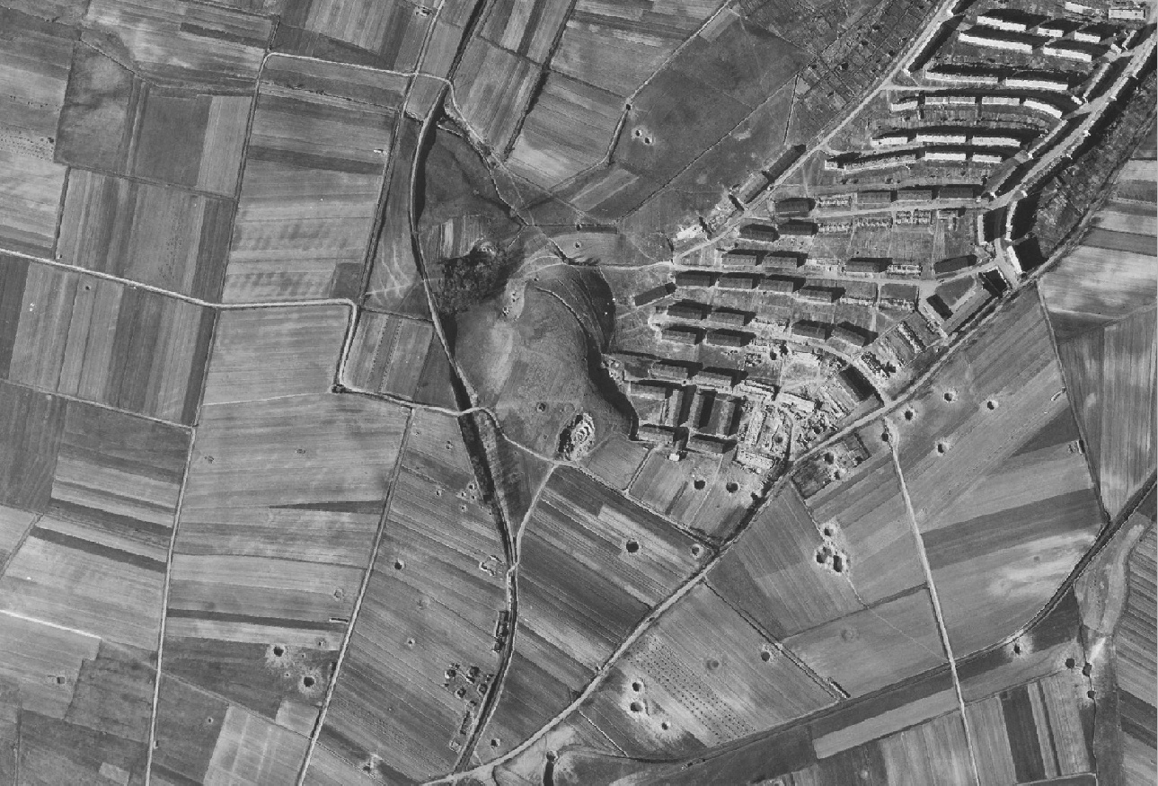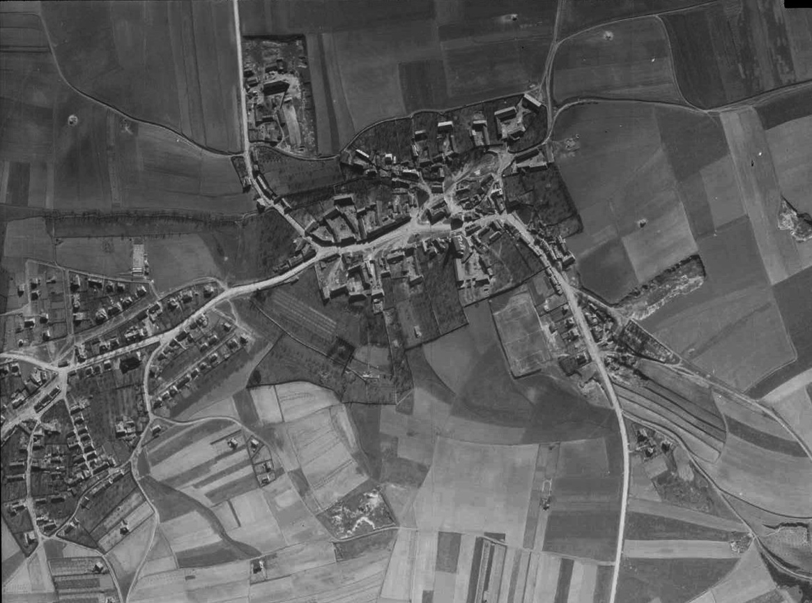
Archival aerial photography · 1939–1989

Order archival aerial photos: Luftwaffe 1939–45 and US satellite imagery 1960s–80s

I find old aerial photos and old satellite images of your area, digitise and georeference them, and show how the place has changed over decades.

All of Europe and beyond
1939–45Luftwaffe aerial reconnaissance
1960s–80sUS satellite imagery
up to 2 mresolution of the best frames
3–5 daysfrom order to result

Then and now

Drag the line to compare the archive frame with today’s view of the same place.
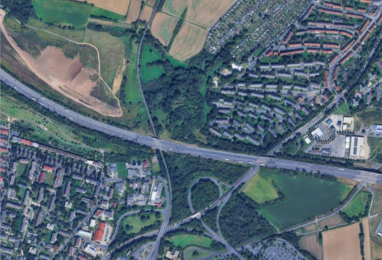
Luftwaffe aerial photo of 1943 compared with the modern view of the same river crossingBefore · archiveAfter · today
⇆

River crossing area, 1943 and today

What you can find in archive photos

A few typical tasks my clients come with.

Old houses and family history

Old houses and family history

See how your house, street or village looked decades ago, and when buildings appeared or disappeared.
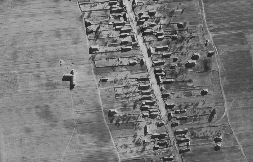
Vanished villages and settlements

Vanished villages and settlements

Abandoned villages, vanished streets, old farmsteads and settlements that no longer appear on modern maps.
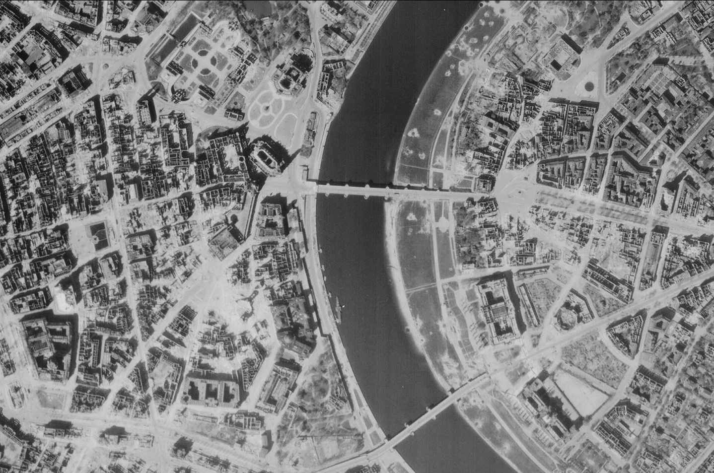
Infrastructure and development

Infrastructure and development

Roads, railways, bridges, industrial sites and how a town grew over time.
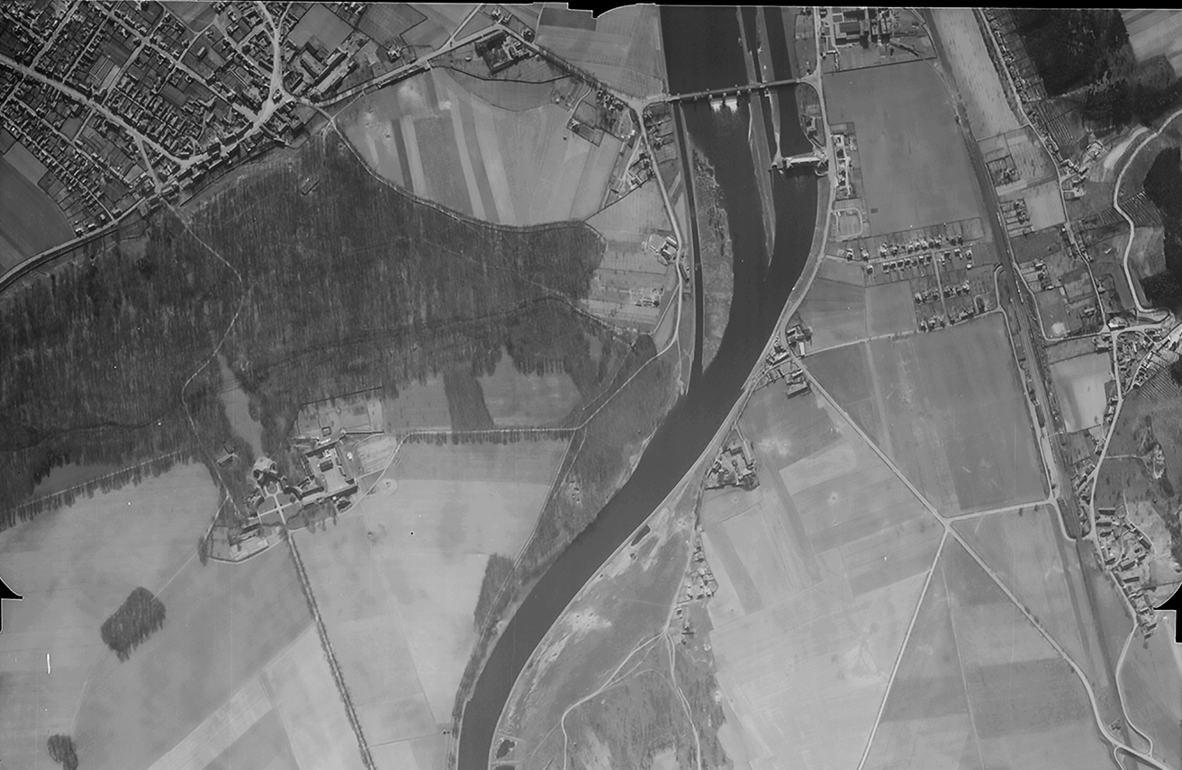
Changes of terrain and rivers

Changes of terrain and rivers

Shifted riverbeds, drained lakes, quarries, reservoirs and forests that grew over former fields.
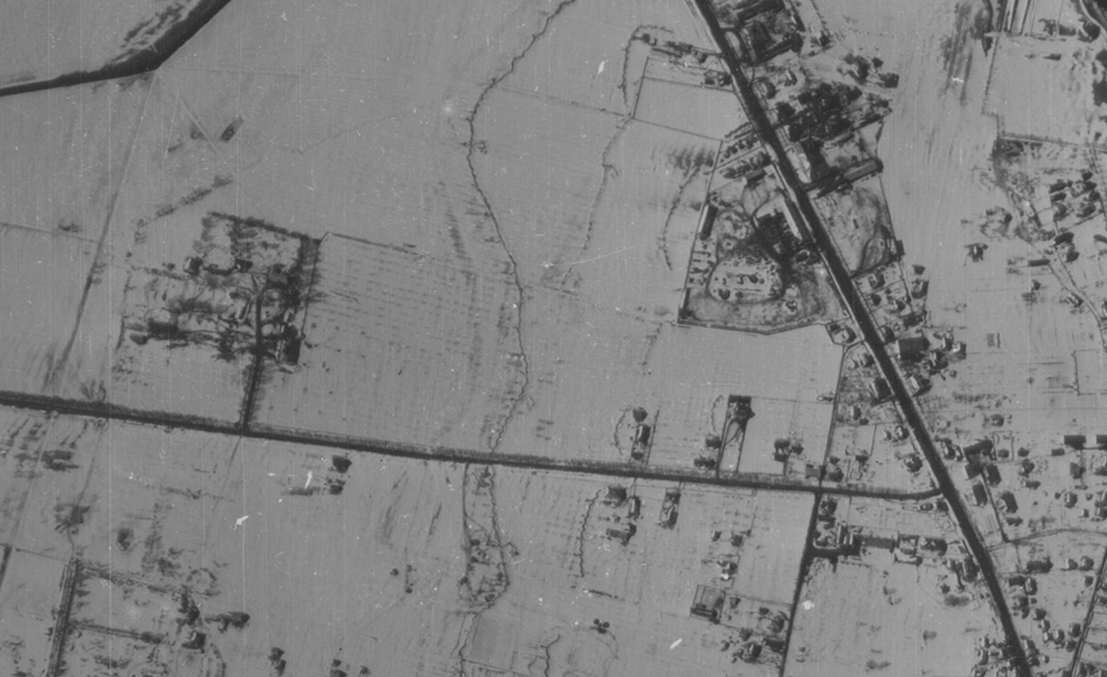
Wartime positions

Wartime positions

Trenches, defence lines, artillery positions and crossings visible on reconnaissance photos of 1939–1945.

What I do

1939–45

Luftwaffe photos, 1939–1945

WWII reconnaissance frames: villages, roads, crossings, defence lines, selected for your coordinates.

Order
1960s–80s

US imagery, 1960s–80s

Declassified American satellite and aerial photos with a resolution of around 2 metres.

Order
Before & after

Before & after comparison

Georeferenced archive overlaid on a modern map: fields, rivers, buildings, your plot.

Order

Prices

Digitising and georeferencing are included. You get a code to view your order in the viewer, plus the files.

1939–1945

Luftwaffe

$33 per photo
Ready in 3–5 days
  • Frame search for your coordinates
  • Processing and contrast correction
  • Georeferencing included
  • Code for the viewer: see your order online right away
  • Files in TIF format
1960s–80s

USA

$22 per photo
Ready in 3–5 days
  • Frame search for your coordinates
  • Processing and contrast correction
  • Georeferencing included
  • Code for the viewer: see your order online right away
  • Files in TIF format

What you receive

Your personal viewer code. Every order gets its own code. Enter it on the viewer page and see your georeferenced photo on the map right away, without waiting for files.

viewer
✓ Georeferenced
example code
  1. I digitise and georeference your photo
  2. I upload it to the server and send you a personal code
  3. You enter the code in the viewer and see the result at once
.TIF

Files in TIF format

Along with online access you receive the finished image files in TIF, to keep and print.

TIFvillage_1943.tif
TIFvillage_1968.tif
Viewer ↗

How it works

01

Request

Give a place name or coordinates.

02

Search

I check the archives and tell you what exists.

03

Processing

Scanning, contrast correction, georeferencing.

04

Result

You get a code for the viewer to see your order at once, plus the files.

Order Luftwaffe aerial photos and old satellite images

You can order Luftwaffe aerial photos from 1939–1945: German reconnaissance flights covered villages, roads, river crossings and defence lines across Europe. I find frames of your area, digitise them and georeference them to a modern map.

You can also order old satellite images from the 1960s–80s to see how your house, village or land looked decades ago, find vanished settlements and trace changes in rivers and development.

FAQ

A Luftwaffe photo (1939–1945) costs $33, a US photo of the 1960s–80s costs $22. Georeferencing to a modern map is included. Examples of finished materials are in the viewer.

Here. Send me the place name or coordinates: I check the Luftwaffe archives of 1939–1945 and tell you whether frames exist before you pay for the order.

Leave a request with the village name or coordinates. If a frame exists, I digitise it, georeference it to the map and send you a code for online viewing plus the TIF files.

From order to result takes 3–5 days. I confirm the exact date after checking that the frames exist.

All of Europe and beyond. I check frame availability for your exact location before you order.

I upload your order to the server and send you a code. Enter it on the viewer page and see your georeferenced photo right away. You get the files in TIF format too.

Tell me the place name or coordinates. I search for Luftwaffe reconnaissance photos of 1939–1945 for that spot, and if frames exist I digitise and georeference them for you.

Yes. I search for declassified American satellite images of your place from the 1960s–80s, digitise and georeference them, and you view the result online in the viewer.

Order an old aerial photo or satellite image of the place: you get a code for the viewer to compare the archive photo with a modern map, plus the files in TIF format.

Coverage depends on the area and period. I check availability first and tell you before you commit to an order.

It depends on the source and the year. For Luftwaffe photos it depends on flight altitude and the condition of the original.

Place an order

Describe what you need. I will check availability and reply. Or message me directly:

TG